Cycling in Burgundy: 6 Best Routes Through Vines and Canals
Six signed bike routes across Burgundy, from the Voie des Vignes to France's first greenway and the canal towpaths, with distance and climb for every route.
Quick links
Don't want to read all this?
We've planned 800+ cycling trips. Send your dates, fitness and group size — we'll map the route and book every night.


Cycling in Burgundy takes you from one wine village to the next along the foot of the Côte, where the vines run up to the woods and cellar doors open onto the lane. Gevrey-Chambertin, Vougeot, Pommard and Meursault sit a few kilometres apart.
Behind the vineyard slope the country turns quiet: France's first greenway runs on an old railway to Cluny, the Bresse is flat farmland, and two canals cross the north and west. Because most of the riding follows towpaths and old railway lines, the climbing stays gentle.
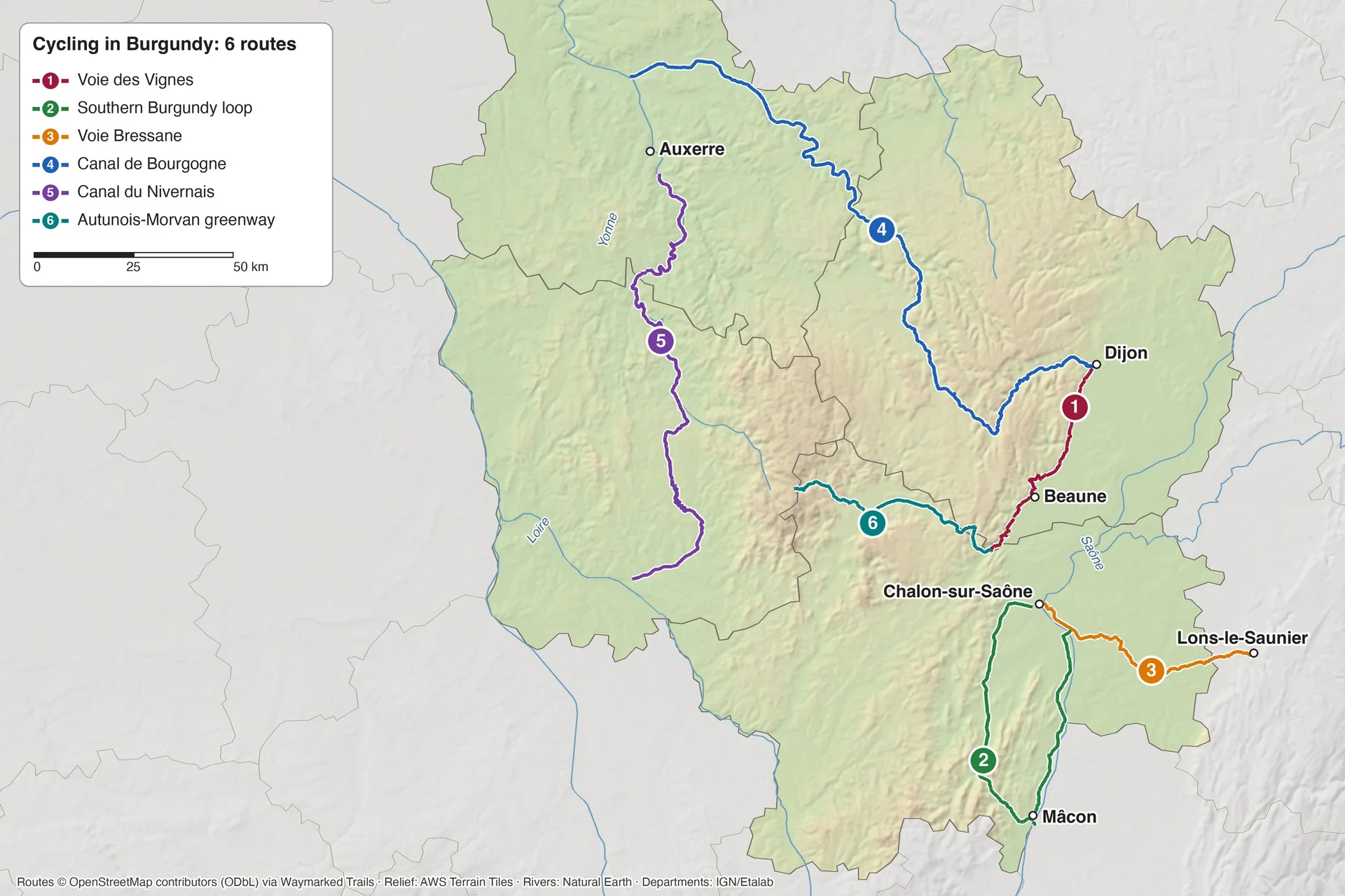
The six best routes cover every kind of riding, from 69 km on the Voie Bressane to 215 km on the Canal de Bourgogne. For other regions, see our guide to cycling in France.
The 6 Best Cycling Routes in Burgundy
Four of the six routes follow canal towpaths or old railway lines, and only the Morvan greenway gains more than 400 m. The Tour de Bourgogne à vélo links routes 1, 2, 4 and 5 into a 664 km signed circuit, 83% of it open in both directions.
1. The Voie des Vignes: Dijon to Santenay
Distance: 72 km in three stages: Dijon to Nuits-Saint-Georges 25 km, Nuits to Beaune 24 km and Beaune to Santenay 23 km, plus 13 km of greenway to Nolay
Elevation gain: 306 m from Dijon to Santenay, in short rises between villages; highest point 305 m
Start and finish: Dijon and Santenay, with Beaune station 49 km from Dijon
Surface: tarmac on small roads and vineyard lanes, shared with local traffic and vineyard tractors
Signs: signed as the Voie des Vignes from Dijon to Santenay
Best for: 2 or 3 days of wine villages, with cellar doors every few kilometres
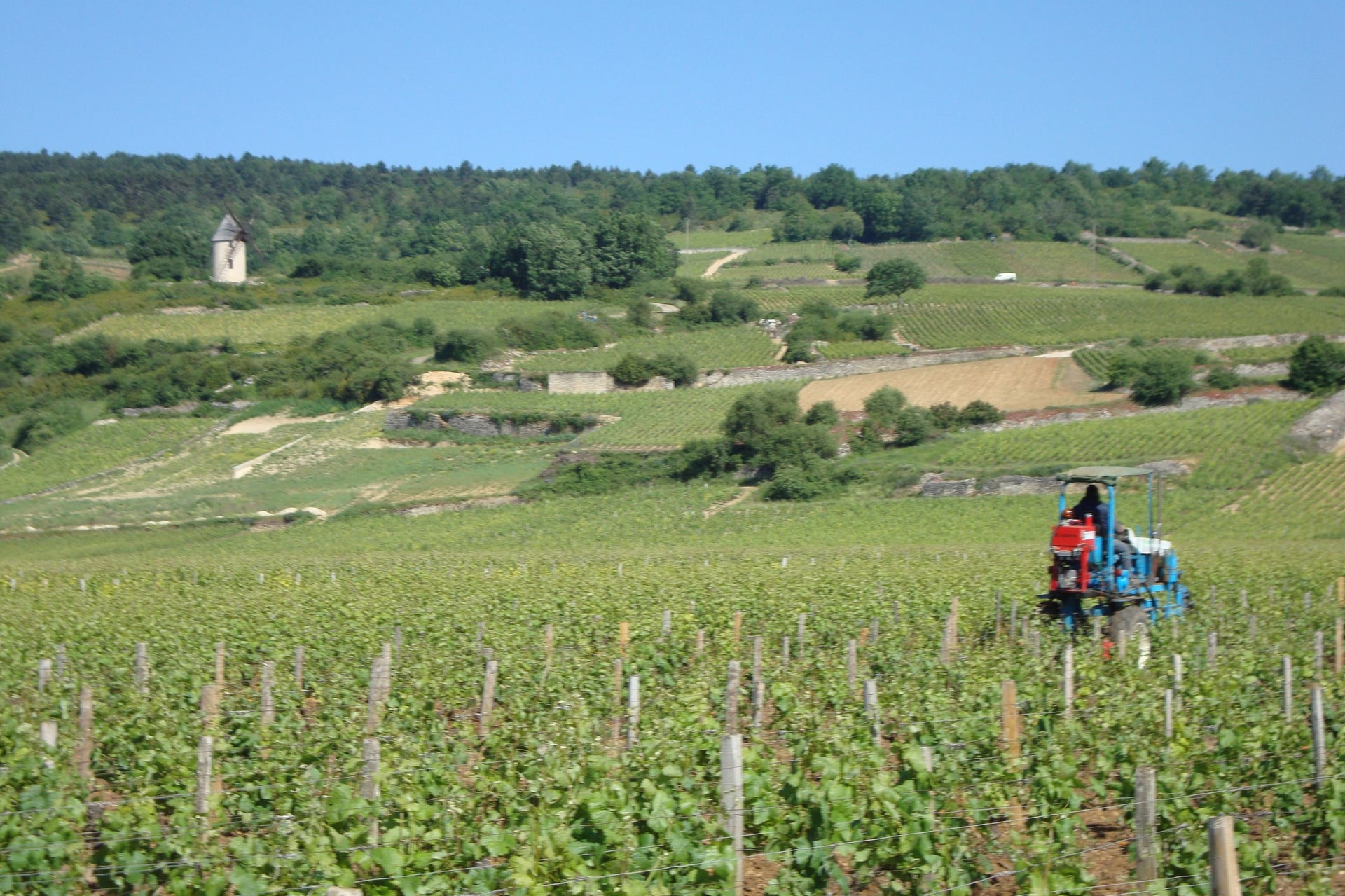
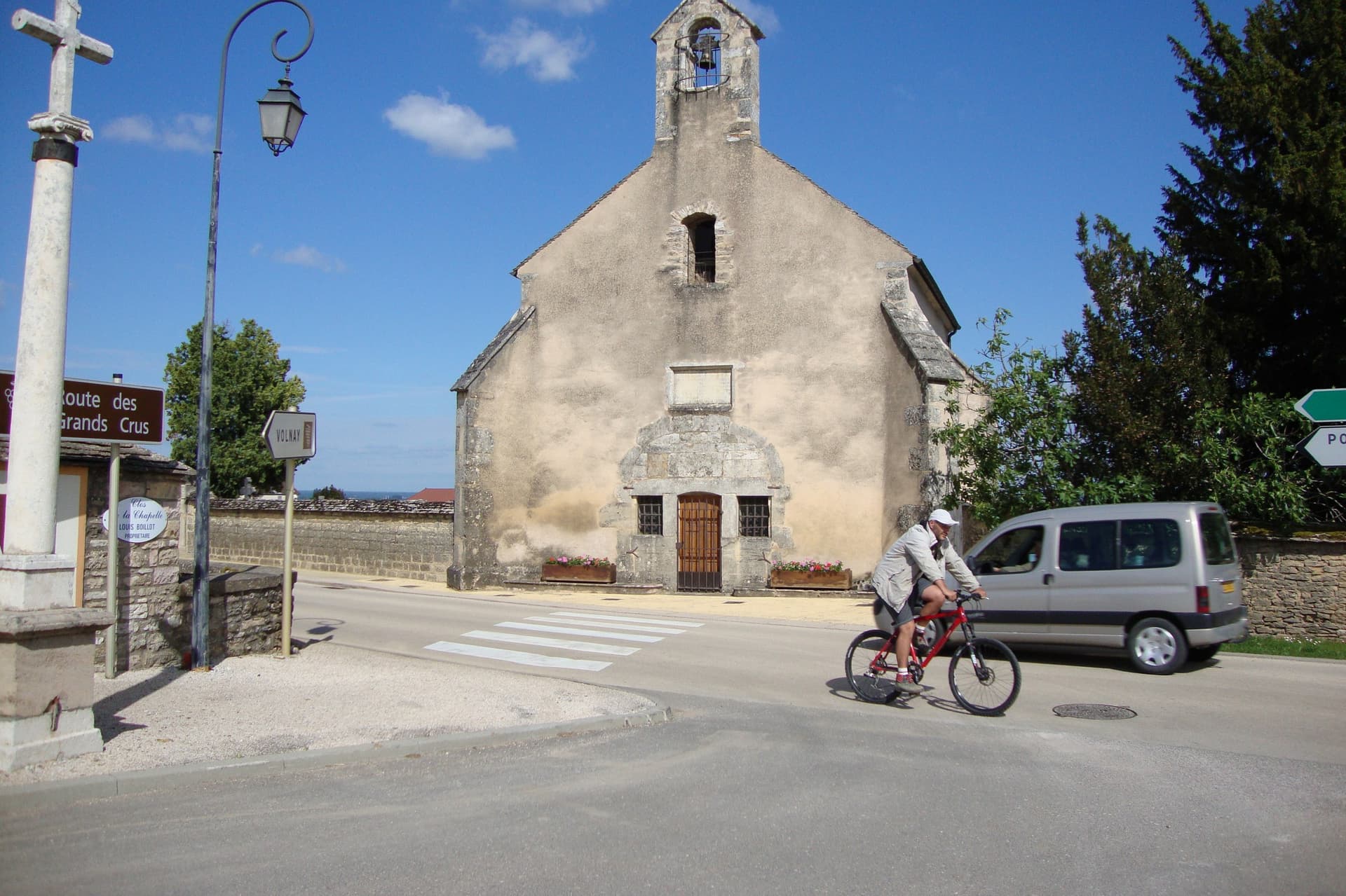
Below the vineyard slope, the Voie des Vignes is the cycle route of the Route des Grands Crus. It passes Gevrey-Chambertin, Vougeot, Vosne-Romanée and Nuits-Saint-Georges in the first 25 km, then runs from Beaune through Pommard, Volnay and Meursault to Puligny-Montrachet and Santenay.
The 10 km between Vosne-Romanée and Gevrey-Chambertin pass 25 Grands Crus, the top-ranked vineyards. The whole strip of vines, about 3 km wide and 60 km long, holds more than 1,000 named plots, the Climats, which joined the UNESCO World Heritage list in July 2015.
The 15 km section from Chambolle-Musigny into Dijon opened in 2020, and the route keeps to small roads rather than the main D974. At Santenay a greenway on an old railway line climbs gently for 13 km to Nolay, across two viaducts above the Maranges vineyards.
2. The Southern Burgundy Loop via Cluny
Distance: 144 km in six stages: Chalon-sur-Saône to Tournus 33 km, Tournus to Mâcon 33 km, Mâcon to Cluny 28 km, Cluny to Cormatin 14 km, Cormatin to Buxy 20 km and Buxy to Chalon 17 km
Elevation gain: 295 m for the whole loop; highest point 360 m
Start and finish: Chalon-sur-Saône or Mâcon, both with stations
Surface: 98% cycle path on the signed line, mostly tarmac greenway on a disused railway; small flat roads between Chalon and Tournus
Signs: green and white cycle signs in both directions
Best for: first-time tourers and families, over 3 to 4 days
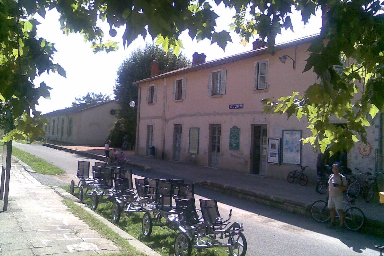
France's first greenway opened here in 1997, 46 km of old railway from Givry, 8 km west of Chalon, to Cluny, with Buxy and Saint-Gengoux-le-National on the way. It forms the western half of the Southern Burgundy loop, which returns along the Saône on the Voie Bleue through Tournus.
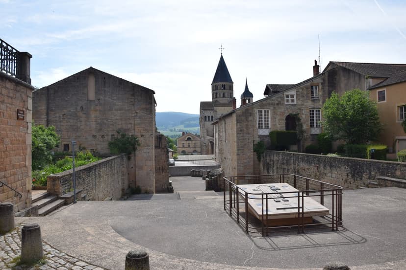
Cluny Abbey was founded in 910, and its church was the largest in the world until St Peter's in Rome was rebuilt. The 34.5 km from Cluny to Buxy carry the Tourisme & Handicap label for riders with reduced mobility.
South of Cluny the greenway passes through the 1.6 km Bois Clair tunnel at Berzé-le-Châtel, the longest in France on a greenway. The tunnel closes for hibernating bats from 1 October to 14 April, and the signed detour is a steep 4 km loop.
3. The Voie Bressane: Chalon-sur-Saône to Lons-le-Saunier
Distance: 69 km in two stages: Chalon to Louhans 41 km, Louhans to Lons-le-Saunier 28 km
Elevation gain: 174 m; highest point 269 m at the foot of the Jura
Start and finish: Chalon-sur-Saône and Lons-le-Saunier, both with stations
Surface: 75% greenway, mostly on a former railway line, and 25% quiet country roads
Signs: marked "Voie bressane" all the way
Best for: a flat ride of 1 or 2 days through farmland
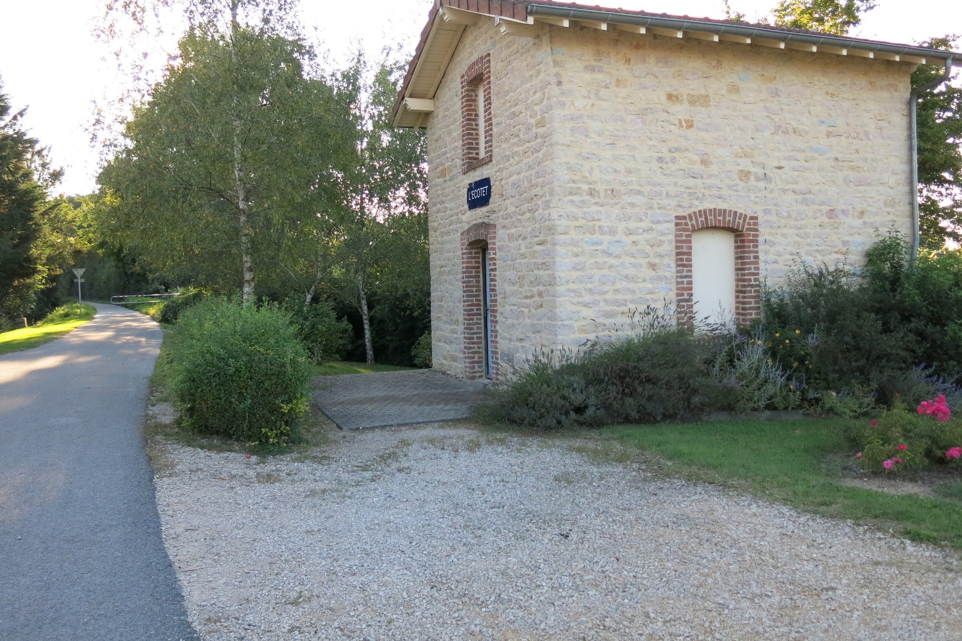
East of the Saône the land flattens into the Bresse, a plain of hedges, ponds and timber-framed farms, some with tall Saracen chimneys. The Voie Bressane crosses it on an old railway line and links with the Voie Bleue at Ouroux-sur-Saône. At Branges, where it crosses the Seille river, there is a picnic spot and a brasserie by the lock.
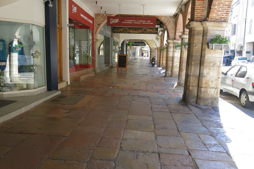
Louhans, 41 km from Chalon, is the halfway town, with 157 arcades along its 400 m Grande Rue. Bresse chickens have had their own appellation since 1957, and Louhans sells them under the arcades on Monday mornings.
From Louhans the route crosses into the Jura department and rises gently through woods for 28 km to Lons-le-Saunier. This spa town is where La Vache qui rit, the Laughing Cow cheese, is made.
4. The Canal de Bourgogne: Dijon to Migennes
Distance: 215 km in nine stages of 13 km to 34 km, from Dijon to Migennes, where the canal meets the Yonne
Elevation gain: 318 m from Migennes to Dijon, 188 m the other way; highest point 433 m near Pouilly-en-Auxois
Start and finish: Dijon and Migennes, with stations at Venarey-les-Laumes, 100 km from Dijon, and Montbard, 113 km
Surface: 45% greenway and 55% towpath; the towpath from Migennes to Tonnerre is still unsurfaced
Signs: signed as the Canal de Bourgogne à vélo, with a provisional line near Migennes
Best for: 4 to 5 flat days, with abbeys and castles beside the water
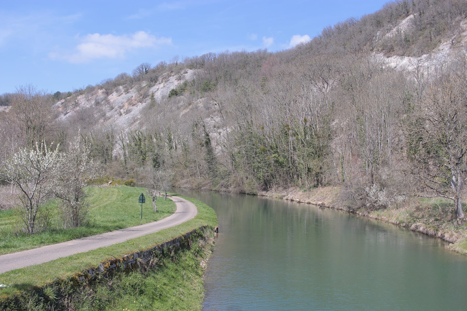
Built to join the Seine and the Saône, the Canal de Bourgogne climbs from the Yonne up the Armançon valley, then drops down the Ouche valley to Dijon. Its summit at Pouilly-en-Auxois, 378 m, is the highest point on any French canal.
Barges cross the summit through a 3.3 km tunnel, while the bike route climbs to 433 m on the stage to La Bussière-sur-Ouche. Coming up from Venarey-les-Laumes towards the summit, the canal climbs a long flight of locks known as the Valley of 40 Locks.
Fontenay Abbey, founded in 1118 and on the UNESCO list since 1981, is a short ride from the towpath at Montbard. Alésia, where Caesar defeated Vercingetorix in 52 BC, overlooks Venarey-les-Laumes, and Châteauneuf stands on its rock above the port of Vandenesse-en-Auxois.
5. The Canal du Nivernais: Auxerre to Decize
Distance: 175 km in six stages: Auxerre to Mailly-le-Château 32 km, Mailly to Clamecy 30 km, Clamecy to Chitry-les-Mines 32 km, Chitry to Châtillon-en-Bazois 31 km, Châtillon to Cercy-la-Tour 35 km and Cercy to Decize 15 km
Elevation gain: 321 m from Auxerre to Decize, 240 m the other way; highest point 291 m near Baye
Start and finish: Auxerre and Decize, with stations at Clamecy and Corbigny on the way
Surface: nearly 90% greenway beside the canal, with short road sections between Clamecy and Mailly-le-Château
Signs: part of the Tour de Bourgogne à vélo, with a few sections still being finished
Best for: 4 to 5 quiet days, with river cliffs and lock cottages
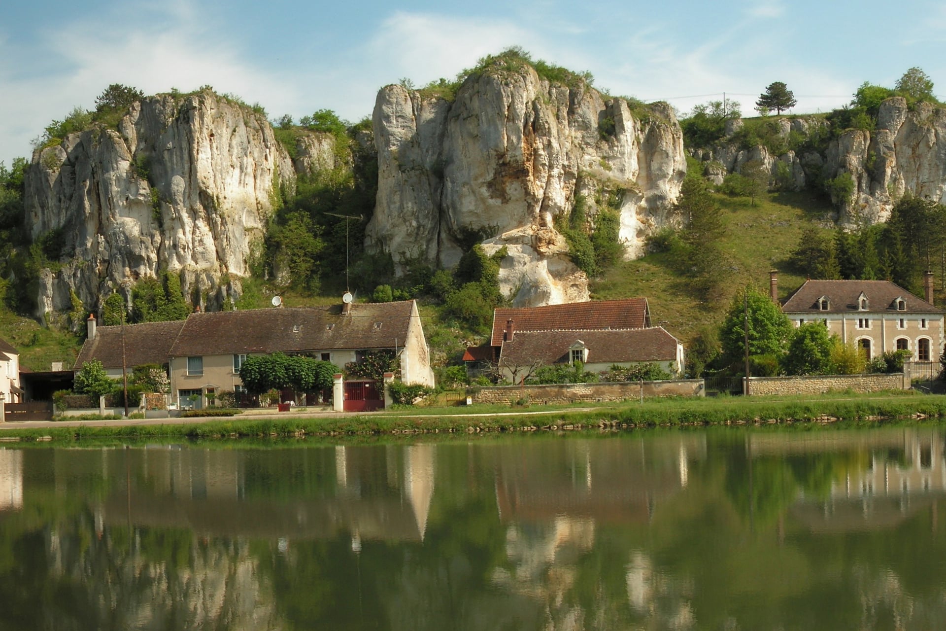
Quieter than the Canal de Bourgogne, the Canal du Nivernais follows the Yonne south from Auxerre past vine and cherry slopes. At Merry-sur-Yonne the Rochers du Saussois, old coral reefs, rise about 60 m above the river.
Clamecy, 62 km from Auxerre, was the home of the log rafters who floated timber down to Paris. Further south the canal climbs through 16 locks in 3.5 km at Sardy, each with its own lock-keeper's cottage, before its summit by the Baye lake.
At Decize the canal meets the Loire and EuroVelo 6. From there you can carry on along the river on the Loire Valley cycle route.
6. The Autunois-Morvan Greenway: Santenay to Château-Chinon
Distance: 74 km in three stages: Santenay to Épinac 25 km, Épinac to Autun 21 km, Autun to Château-Chinon 28 km
Elevation gain: 679 m; highest point 673 m in the Morvan hills
Start and finish: Santenay and Château-Chinon; the nearest station to Santenay is Chagny, 5.4 km away
Surface: 62% cycle path and 38% road, with rough ballast on the old Voie du Tacot railway
Signs: its own signs from Santenay to the D978 before Arleuf, then minor roads to Château-Chinon
Best for: 2 or 3 days of forest and hills after the vineyards
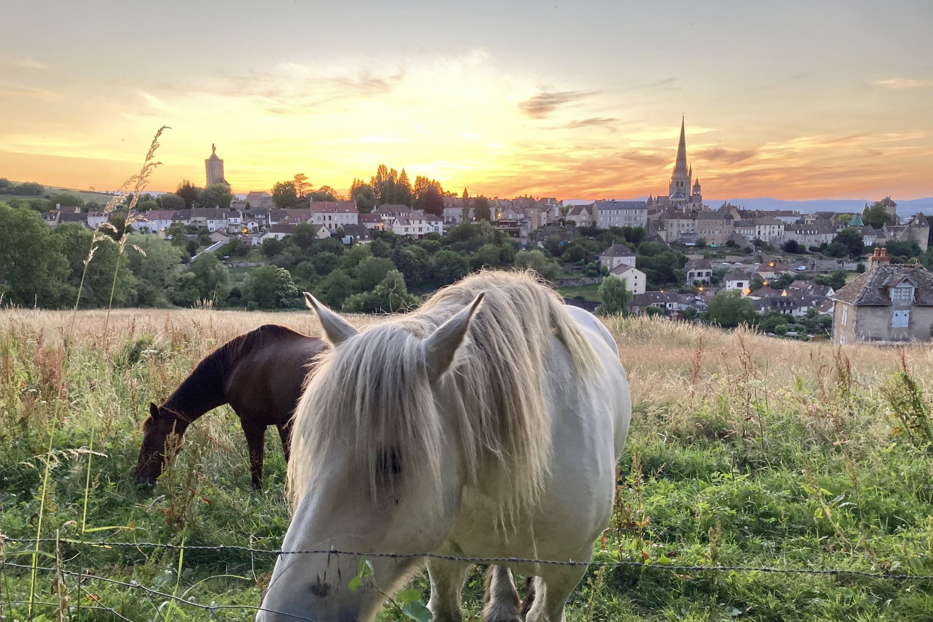
Hills and forest take over on the Autunois greenway, the hilliest of the six routes. From Santenay it shares the old railway to Nolay, then climbs through Châtillon wood to Épinac, 25 km from Santenay, a former mining town whose shaft of 1863 went down 623 m.
Autun, 46 km from Santenay, was a Roman city, and two of its Roman gates still stand. Its cathedral of Saint-Lazare keeps a Last Judgement carving over the door, signed by the sculptor Gislebertus in the 12th century.
After Autun the route climbs 28 km into the Morvan forests on minor roads and the Voie du Tacot, an old railway with soil over its ballast. France Vélo Tourisme suggests a gravel bike, or an electric mountain bike for less experienced riders.
How Hard Is Cycling in Burgundy?
Most cycling in Burgundy follows canal and railway gradients, so the effort comes from distance and summer heat more than from climbing.
Climbs and Gradients
Most routes climb about 2 m for every kilometre ridden. The Southern Burgundy loop gains 295 m in 144 km, and the 664 km Tour de Bourgogne gains 1,416 m.
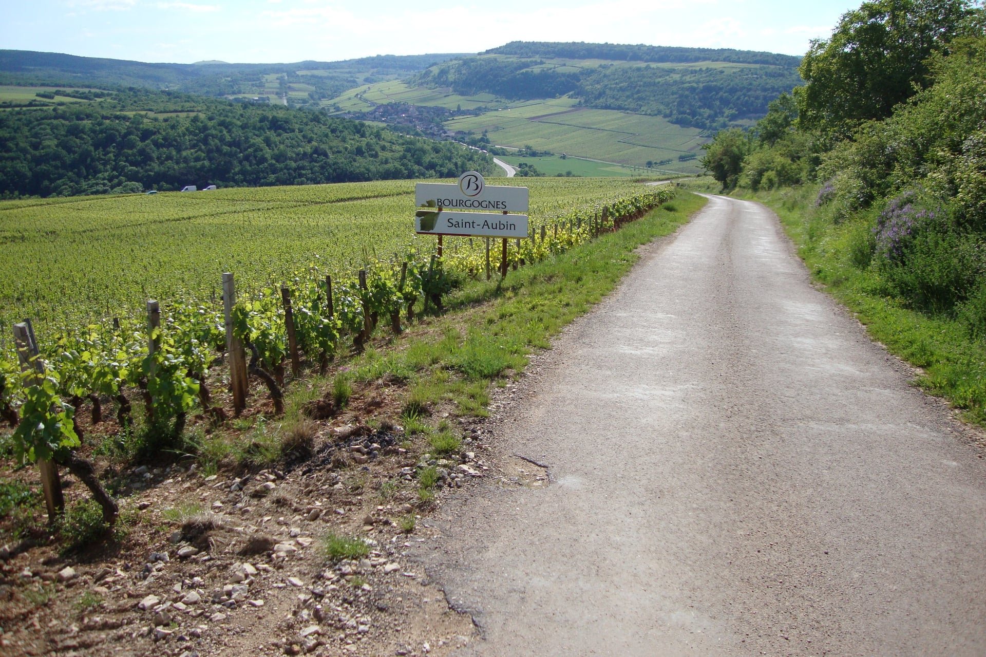
The Côte rolls more: the Voie des Vignes gains 306 m in 72 km in short ramps between villages. Side lanes such as the one up to Saint-Aubin climb into the Hautes-Côtes, and the Autunois-Morvan greenway is the hardest of the six, with 679 m of climbing in 74 km.
In summer the heat matters more than the hills: Louhans, on the Bresse plain, averaged 10 days of 30 °C or more each August from 2016 to 2025, and the farm roads between the greenways have little shade.
Surfaces, Signs and the Bois Clair Tunnel
Greenways in Burgundy are mostly tarmac, but the canal towpaths are not. The Canal de Bourgogne is 55% towpath, and its stretch from Migennes to Tonnerre is still unsurfaced.
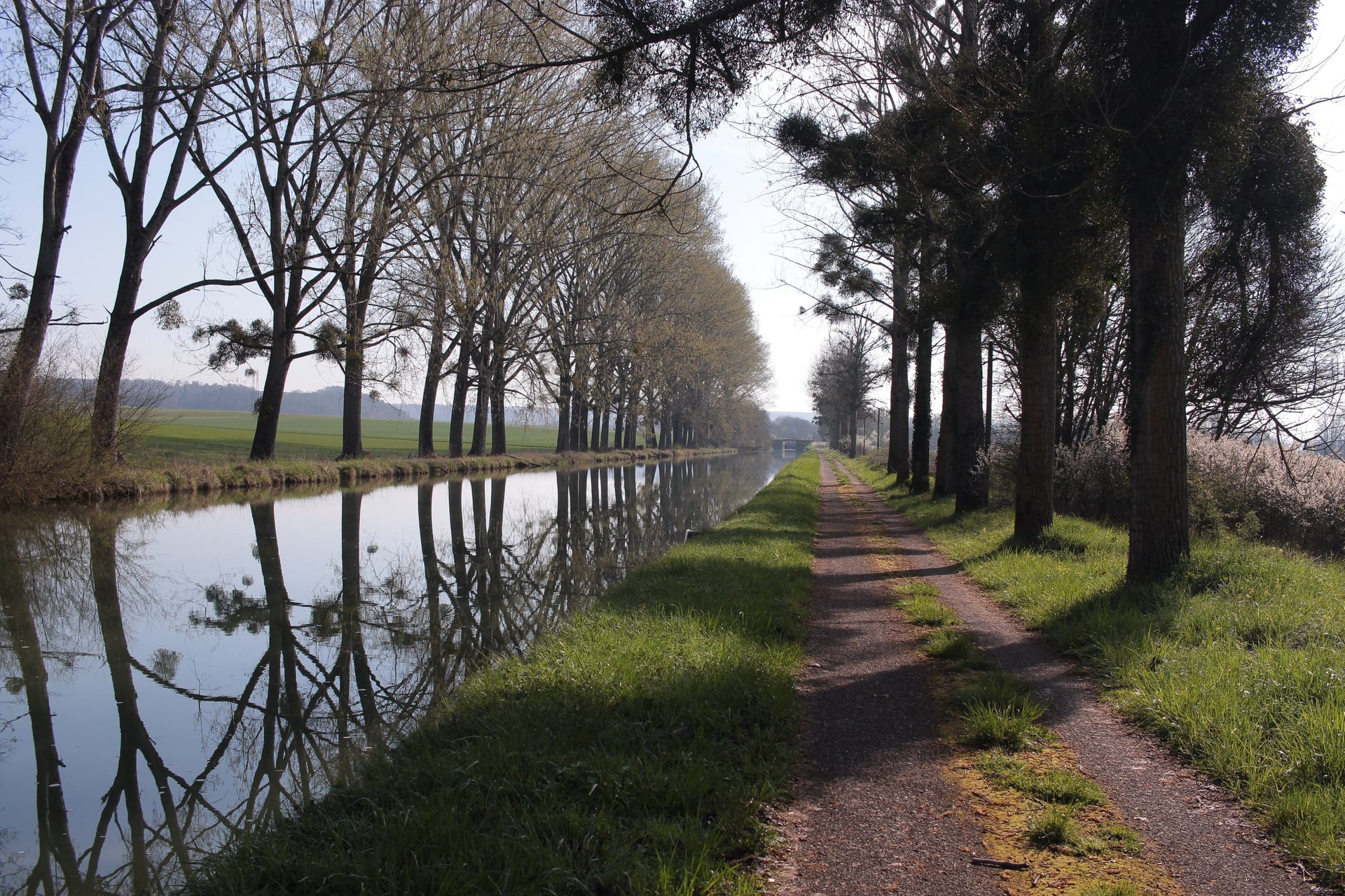
On gravel, tyres of 32 mm or wider make the towpaths comfortable. The Voie des Vignes, the Southern Burgundy loop and the Voie Bressane are signed end to end. The country roads that link one route to another carry no route signs, so load a GPX track before you ride between them.
The Bois Clair tunnel is open from 15 April to 30 September, from 8:00 to 20:00 until the end of August and to 19:00 in September. The crossing takes 4 to 6 minutes by bike, and the air inside stays at about 11 °C, so bring lights and a layer.
When to Cycle in Burgundy
The season runs from April to October, and what changes is the heat on the plain, the rain and the work in the vines. In April the vines are bare, and by mid-May the Côte is green, with average highs of 19 °C in Beaune.
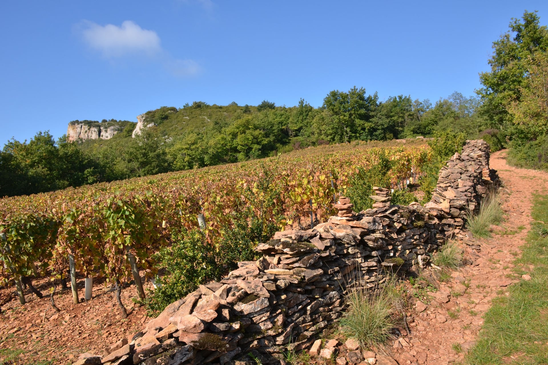
September is harvest month, and pickers and tractors fill the vineyard lanes. In the hot summer of 2026 the Hospices de Beaune started picking on 15 August, and by October the vines below the Roche de Solutré turn red and gold.
Average daily high and weather days, 2016 to 2025 (Open-Meteo):
Month | High in Beaune | Rain days in Beaune | Days over 30 °C in Louhans | On the routes |
April | 16 °C | 9 | 0 | Bois Clair tunnel opens on 15 April; vines still bare |
May | 19 °C | 12 | 1 | Vines in leaf; one of the wetter months |
June | 25 °C | 12 | 5 | Longest days; first hot afternoons |
July | 26 °C | 10 | 7 | Hottest weeks begin; ride early on the Bresse |
August | 27 °C | 8 | 10 | Fewest rain days and the most days over 30 °C |
September | 22 °C | 9 | 2 | Grape harvest on the Côte; tunnel closes at 19:00 |
October | 17 °C | 11 | 0 | Autumn colour; tunnel closed from 1 October |
The Hospices de Beaune wine sale, held since 1859, falls on the third Sunday of November, 15 November in 2026. Beaune's hotels fill from late October, so book early for an autumn ride.
For most riders, May, June and September are the best months, with long days and fewer hot afternoons than July and August.
Know Before You Arrive
Burgundy is easy to reach by train, its towns have hotels used to cyclists, and the routes themselves cost nothing to ride.
Getting There With a Bike
From Paris Gare de Lyon the TGV reaches Dijon, the start of the Voie des Vignes and the Canal de Bourgogne, in about 1 hour 35 minutes. Regional TER trains take 18 to 25 minutes on to Beaune, and direct TER trains from Lyon Part-Dieu reach Beaune in 1 hour 25 to 1 hour 40.
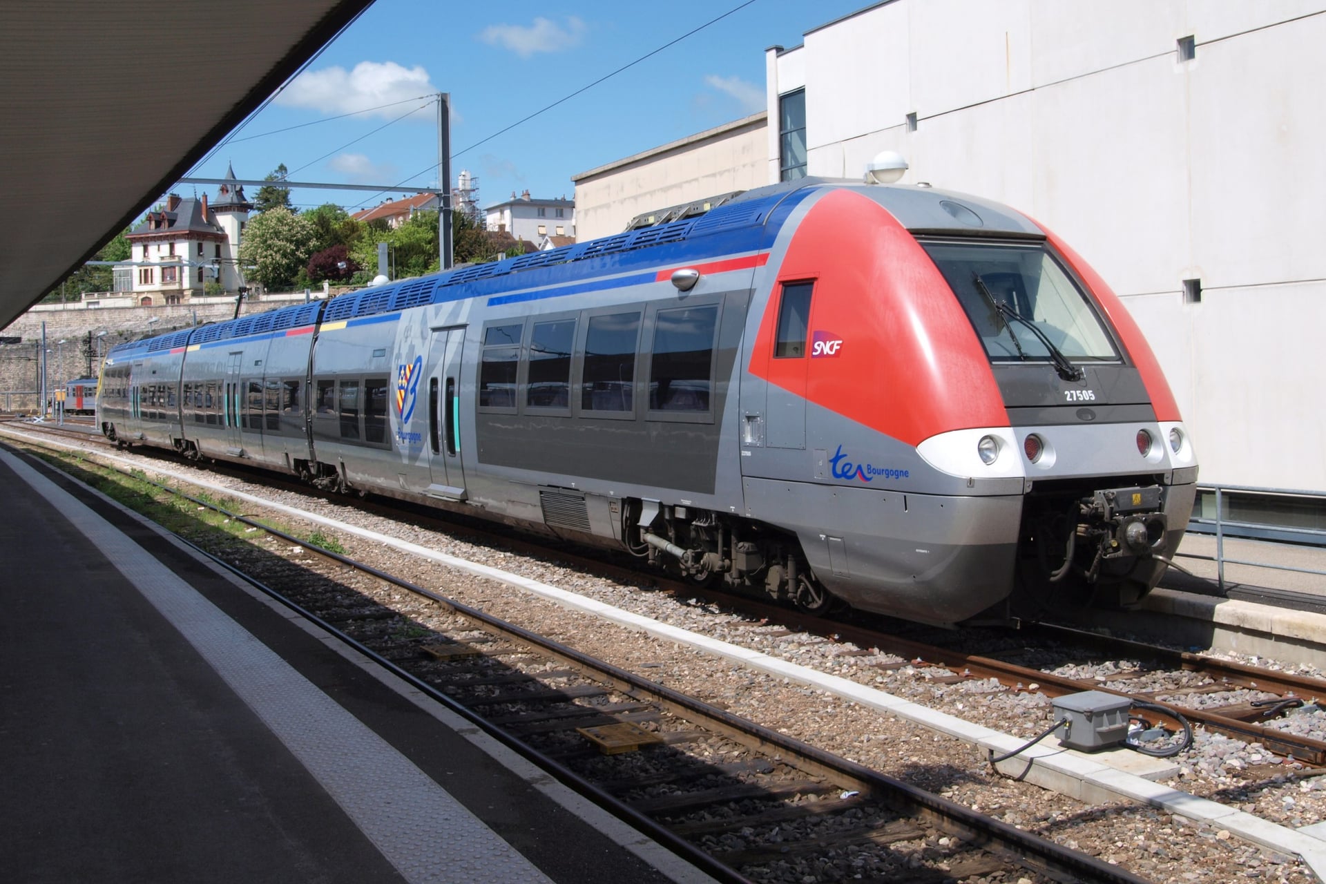
TER in Bourgogne-Franche-Comté: bikes travel free on every regional train while spaces last; a free bike booking is compulsory all year on the Paris to Dijon and Lyon line and the Paris to Auxerre and Morvan lines
TGV INOUI: a bike packed in a bag travels free; an assembled bike needs a booked bike space, where the train has one
OUIGO: add the bike option when you book; assembled bikes travel only on OUIGO Train Classique
By air: Lyon Saint-Exupéry is about 175 km from Beaune by road, Geneva about 240 km and Paris Charles de Gaulle about 340 km
By car: Beaune sits on the A6, about 3 hours 20 from Paris and 1 hour 45 from Lyon
The rules for other French trains are in our France cycling guide, and on the TGV it pays to book the bike space when you buy the ticket.
Where to Stay
Choose your base by route: Beaune or Dijon for the Voie des Vignes, Cluny or Chalon-sur-Saône for the Southern Burgundy loop, and Louhans for the Voie Bressane. On the Canal de Bourgogne, Montbard and Pouilly-en-Auxois have hotels near the towpath.
Hotels, B&Bs and campsites with the Accueil Vélo label offer secure bike parking, luggage storage and a repair kit. Beaune is busiest at harvest time and before the November wine sale, and small towns on the greenways have only a few hotels, so book those nights before the rest.
How Much Does It Cost?
The signed routes and greenways are free to ride, so the money goes on beds, trains and bike hire, plus a few paid sights.
Routes: free on all six, including the Bois Clair tunnel
Bike hire in Beaune: €19 a day for a touring bike and €39 a day for an e-bike at Bourgogne Randonnées, with helmet, lock and repair kit
Cluny Abbey: €11 for the abbey and the town's art and archaeology museum
Trains: free for a bike on TER in the region and for a bagged bike on the TGV; €10 for a TGV bike space and €5 for a bagged bike on OUIGO
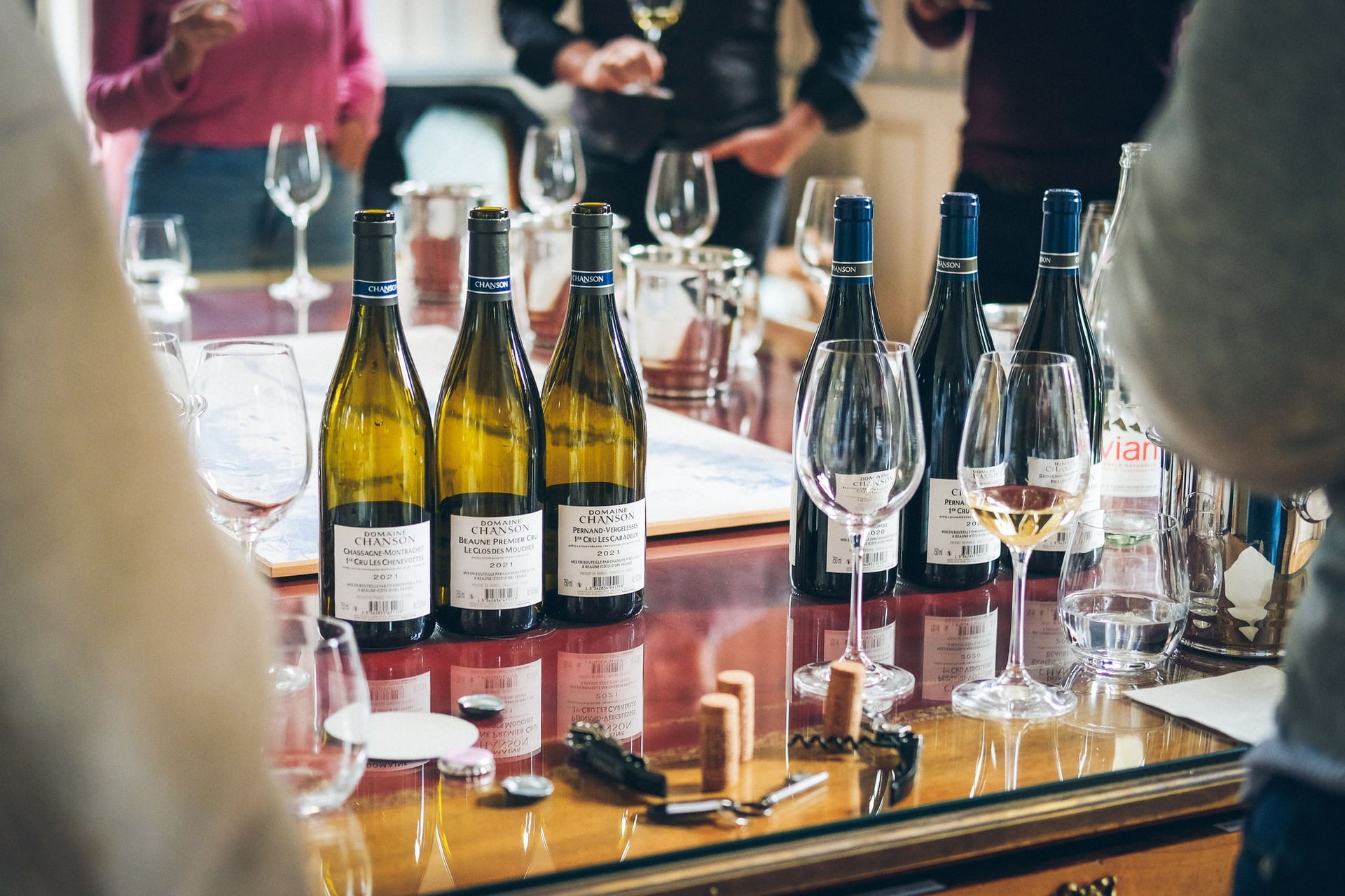
Cellar tastings: priced by each domaine in Beaune and the wine villages
What to Pack
Pack for both showers and heat: May brings 12 rain days in Beaune, and August averages 27 °C, so the Bresse roads in summer call for sun cream.
For any ride:
A helmet, two 750 ml bottles and a pump
Spare tubes, tyre levers and a multi-tool, as bike shops are far apart
Lights, reflectors and a bell, which French law requires
Rain jacket for May and October showers
Phone with GPX tracks and a power bank
For Burgundy:
Tyres of 32 mm or wider for the towpaths and the Voie du Tacot
Shoes you can walk in for cellar steps and abbey floors
A warm layer for the 11 °C Bois Clair tunnel
A packed lunch, because village shops close from about noon to mid-afternoon and many shut on Mondays
Day Rides From Beaune, or a Week-Long Loop?
The Côte works well as day rides from Beaune. The Voie des Vignes runs 24 km north to Nuits-Saint-Georges and 23 km south to Santenay, and the fastest trains from Nuits back to Beaune take 8 minutes.
A week that links the Côte, the greenway and the Bresse is harder to arrange. It means a different small town each night, bags to move every morning, and unsigned country roads between the signed routes.
Our self-guided bike tour, Vineyards of Burgundy Cycling Holidays, does that work for you. It rides south through Meursault and Rully to Buxy, follows the greenway past Cluny to Mâcon, crosses the Bresse to Louhans and returns on the Voie Bressane and the Saône.
Duration: 7 days / 6 nights, with 5 riding days, from April to September
Route: a loop from Beaune via Buxy, Mâcon, Louhans and Chalon-sur-Saône, 243 km in all
Daily rides: 41 to 59 km, with 160 to 430 m of elevation gain a day and 1,360 m over the week
Bikes: road bike, gravel bike or e-bike
Included: 6 nights in 3-star hotels with breakfast, luggage transfers, a route booklet, a GPS app and support while you ride
To plan your week, ask us about dates for next season.
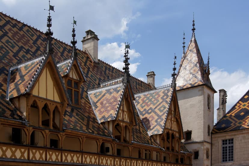
On a September evening the lanes between Pommard and Meursault smell of crushed grapes, tractors carry the day's harvest home, and the glazed roof of the Hôtel-Dieu catches the last sun in Beaune.
Frequently Asked Questions



Plan with a cycling expert
Free advice from a team that knows these routes inside out - real people, not a bot

Hassle-Free
We take care of route planning, accommodations, luggage transfers, and all logistics, so you can focus purely on enjoying your ride.

Tried & Tested Adventures
Our cycling routes are hand-picked & tested, to ensure breathtaking landscapes, smooth roads, and maximum safety - giving you the perfect ride every day.

Unbeatable Support
Our 24/7 customer support is where we show our passion, ensuring your cycling holiday runs smoothly and your well-being is always our top priority.

Book with Confidence
We are a financially protected company, fully bonded and insured, keeping your money safe and allowing you to travel with confidence.